Drone surveying
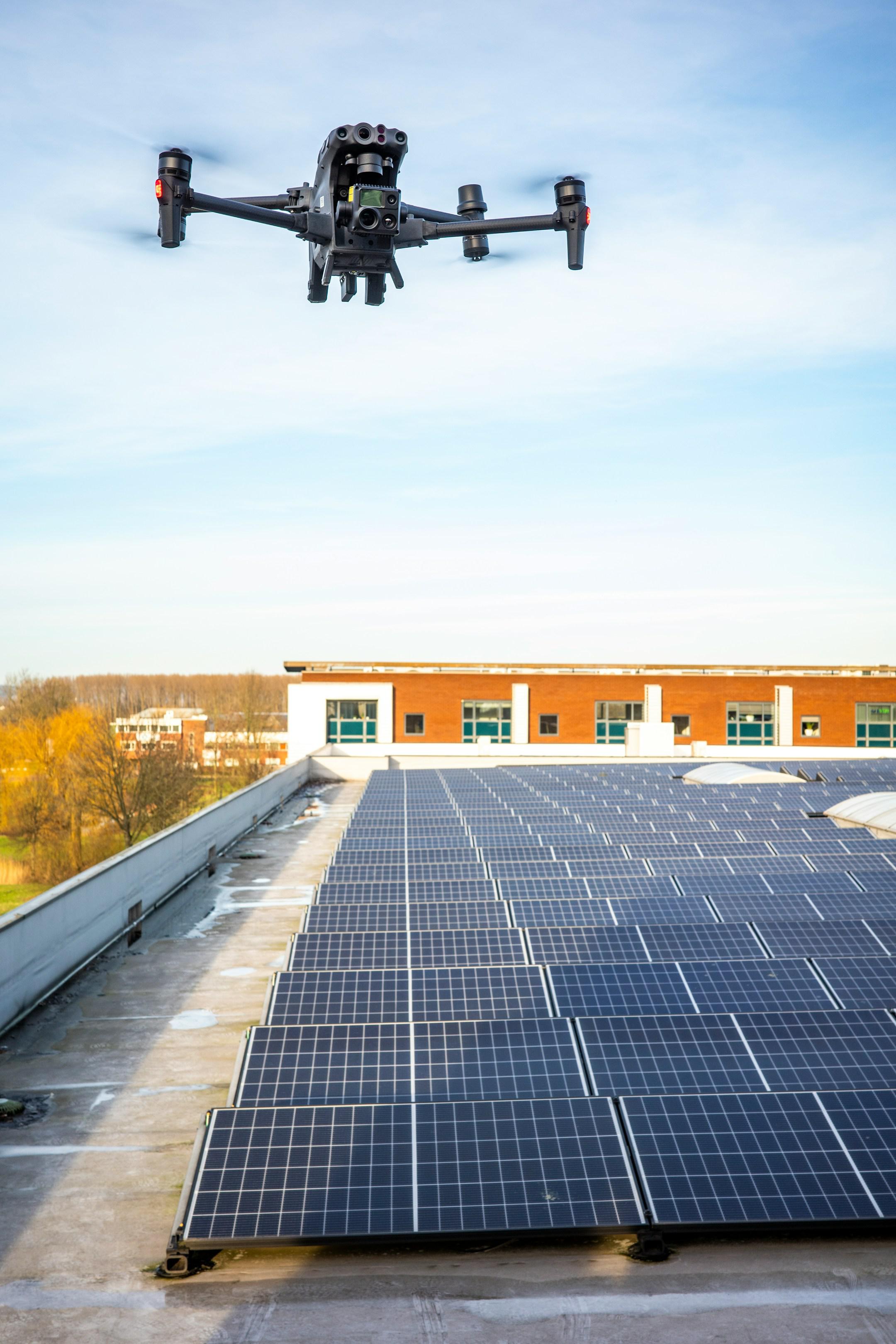
Aspire Geospatial Solutions offers Drone Surveying services that leverage the latest drone technology to capture high-quality aerial imagery and data. Our drones provide rapid, efficient, and cost-effective surveying solutions that cover large areas with precision. This method reduces the time and labor associated with traditional surveying techniques, allowing for quicker project turnaround. Our detailed aerial surveys are perfect for a variety of applications, including construction, agriculture, and environmental assessments. Trust our expertise to provide you with accurate data that supports your project objectives and enhances operational efficiency.
Let's talk
We would love to hear from you!