Transforming geospatial data
Empowering decisions with precision
Who we are
Innovative solutions for industries
Aspire Geospatial Solutions, based in Hyderabad, harnesses cutting-edge technology to deliver precise geospatial data collection. We specialize in high-resolution mapping and comprehensive analysis tailored to meet the unique needs of various industries. Our commitment to innovation and reliability empowers clients to make informed decisions and drive sustainable growth.

Our expertise
Comprehensive solutions for your needs
-
 High-Resolution mappingObtain detailed and accurate maps for your projects.
 -
 Geospatial data analysisTransform raw data into actionable insights.
 -
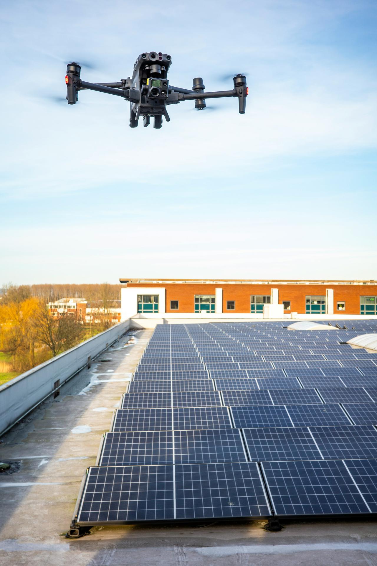
 Drone surveyingExperience cutting-edge aerial surveys with drones.
 -
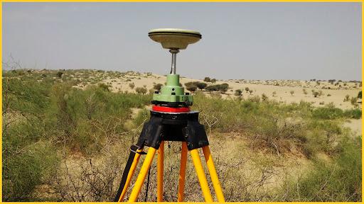
 DGPS Surveying
Accurate GPS position points using ground based reference stations to correct positional errors
-
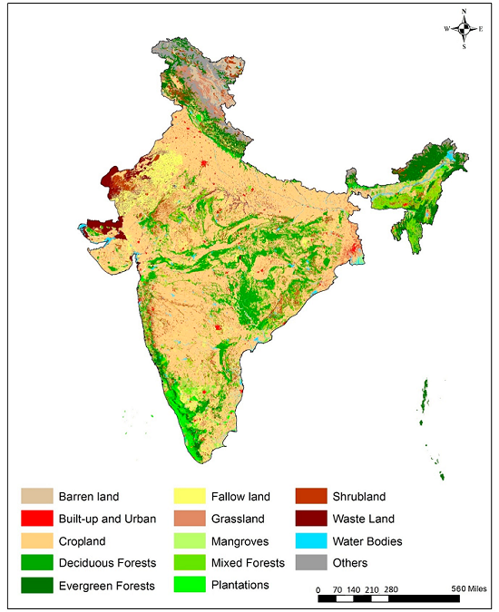
 Land use land cover maps
Accurate mapping of land use and land cover for informed decision-making.
-
 Environmental impact assessment studies
Comprehensive studies to evaluate environmental impacts.
-
 Topo maps
Expertly crafted topographic maps for enhanced spatial analysis.